Explore Our Services
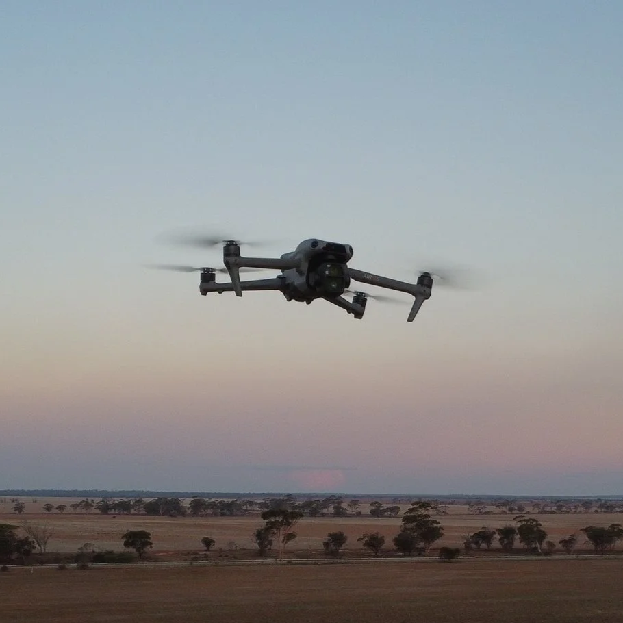
Drone technology is revolutionising the way several industries conduct their business. Swift Drone Photography is open to conducting a vast range of contracting services, ranging from mapping, monitoring and surveying to creating portfolios for real estate professionals. Below are the services provided in more detail, as well as examples from previous projects. If you are looking for a service that is not listed below, do not hesitate to contact us and ask if it could be provided.
Photography
✳︎
Videography
✳︎
Inspection
✳︎
Mapping
✳︎
Monitoring
✳︎
Promotion
✳︎
Tracking
✳︎
Photography ✳︎ Videography ✳︎ Inspection ✳︎ Mapping ✳︎ Monitoring ✳︎ Promotion ✳︎ Tracking ✳︎
Get In Touch
If you're interested in working with us, complete the form with a few details about your project. We'll review your message and get back to you within 48 hours.
Private/Individual
Drone Photography and Videography offer a unique filming perspective that a handheld camera just cannot replicate.
Planning on selling your property privately or renting out your house? Aerial photos and videos are a great way to complete your portfolio and attract more potential buyers/renters.
Using a drone for overheard roof, solar and gutter inspection is far easier and safer than climbing onto the roof and checking yourself.
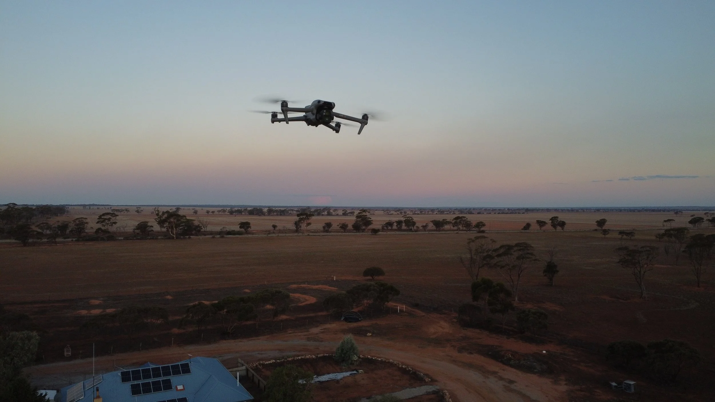
Wanting to fly your own drone but don’t know where to start? Professional help can get you on your way and build your confidence.
Commercial
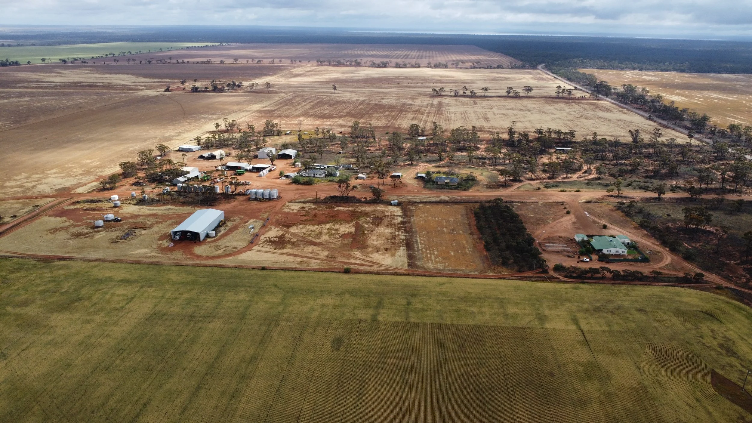
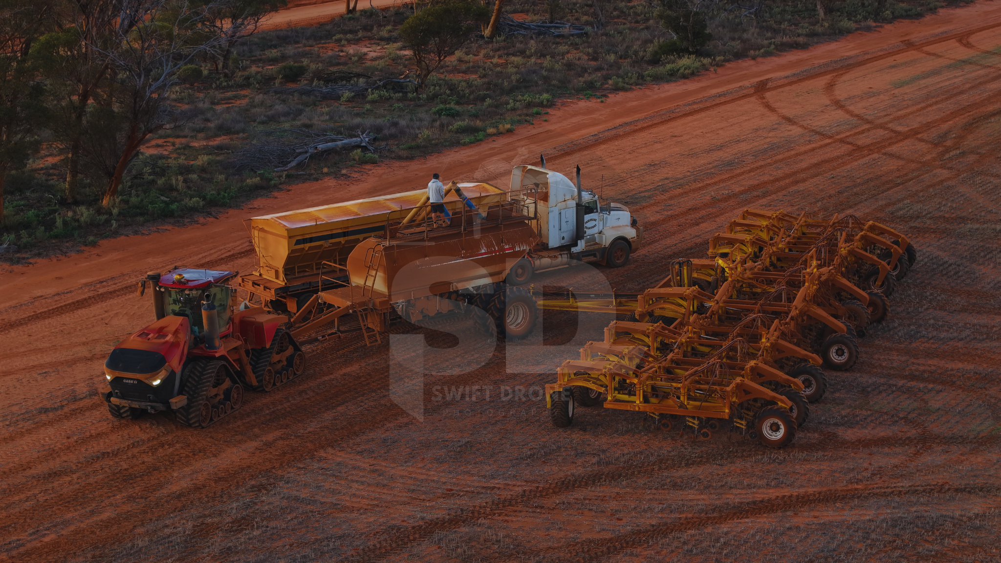
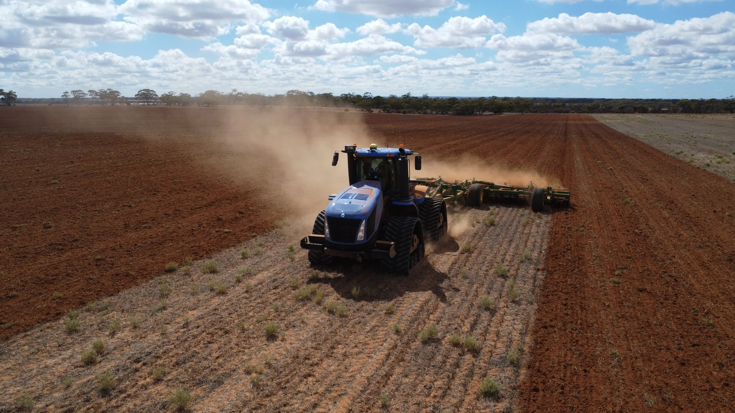
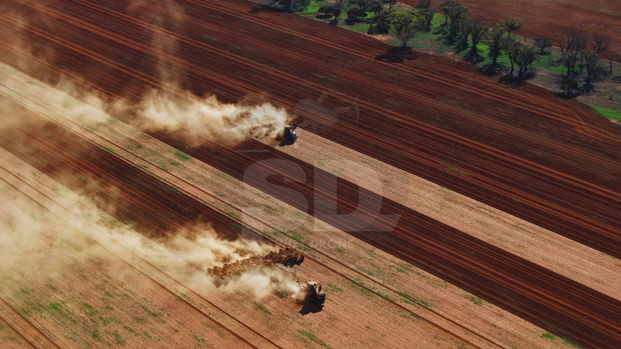
Construction Site Monitoring involves capturing a series of images, 3D models and both regular and 360 degree videos over a period of time to track progress.
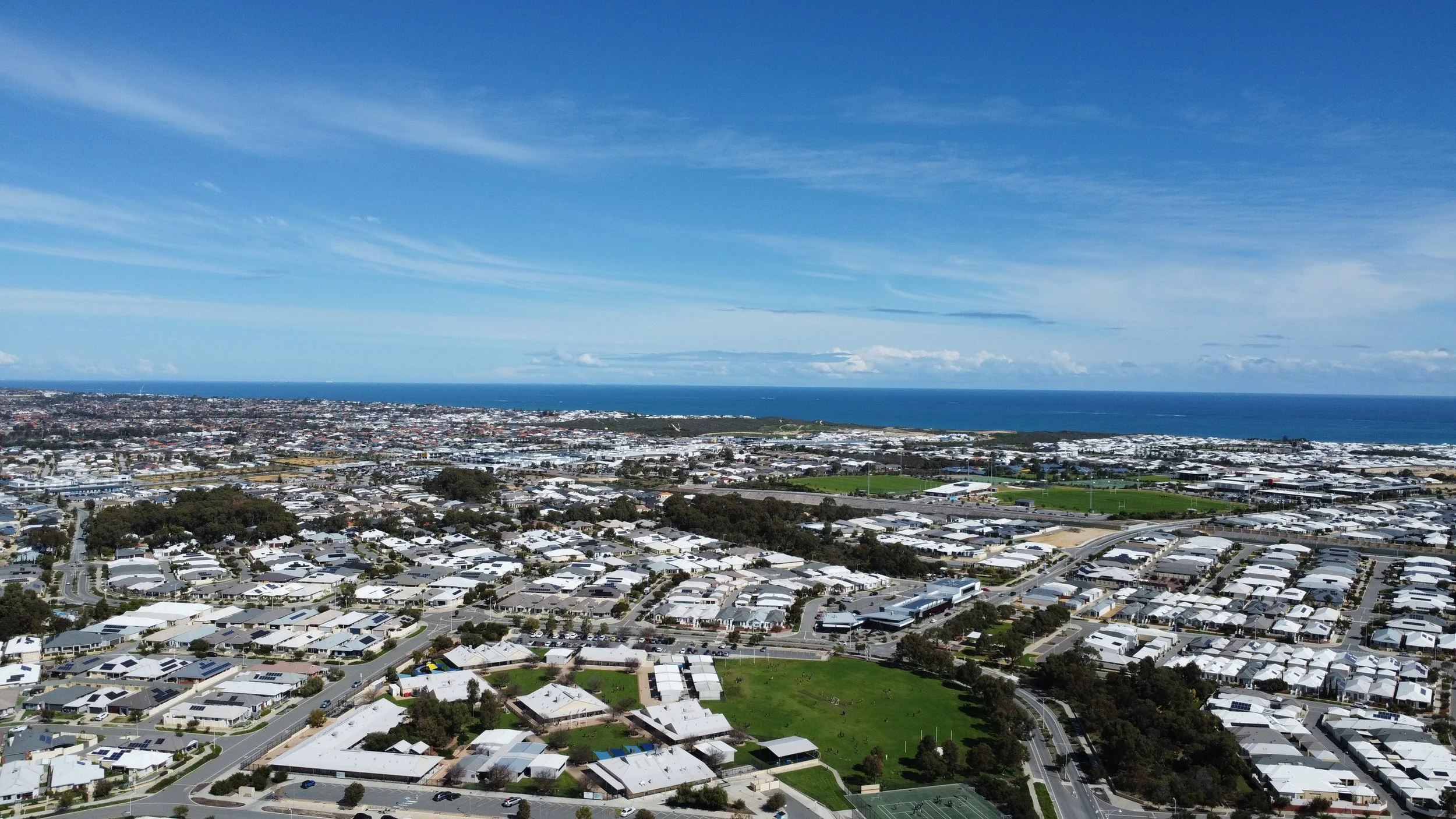
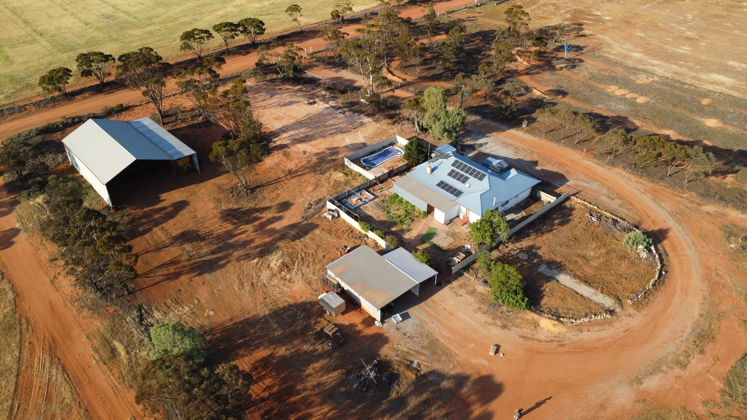
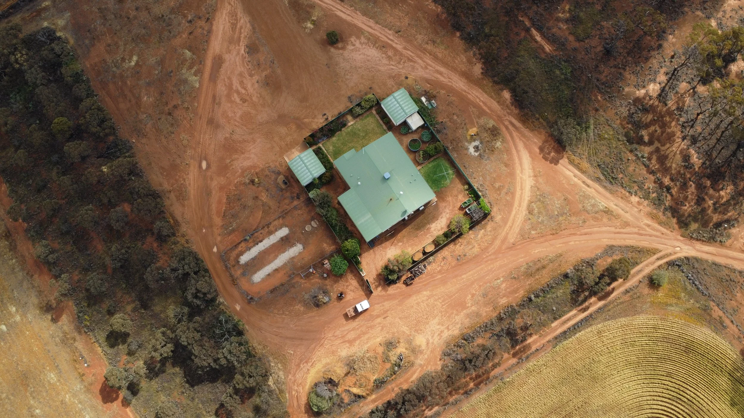
Real Estate services involve capturing images and videos of a building or area to display to potential customers. This includes several high quality images and a cinema-grade promotion video.
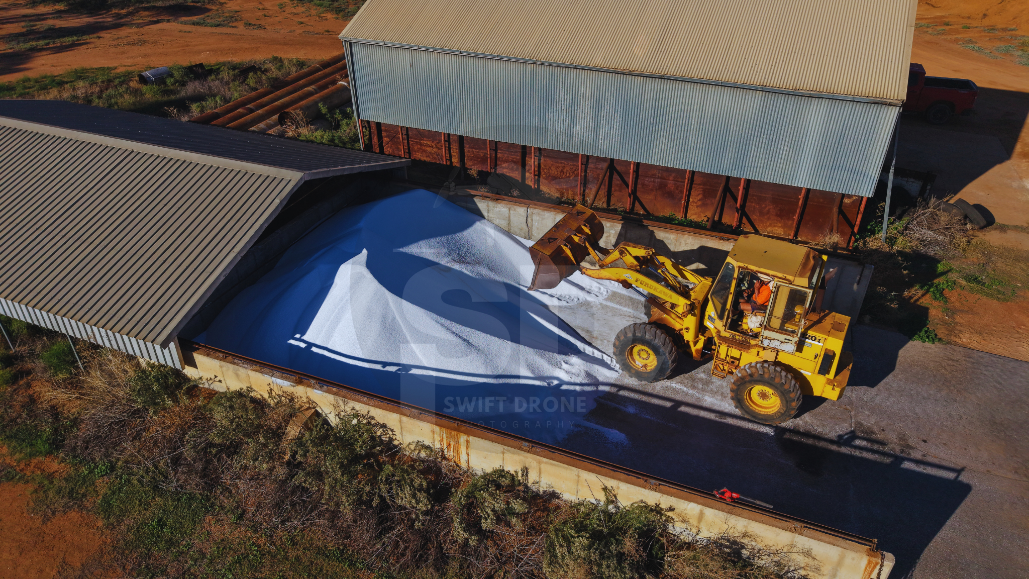
A 3d scan can be taken of surplus piles such as gravel or sand, from which its volume can be estimated with high accuracy. This is perfect for keeping track of surplus resources.
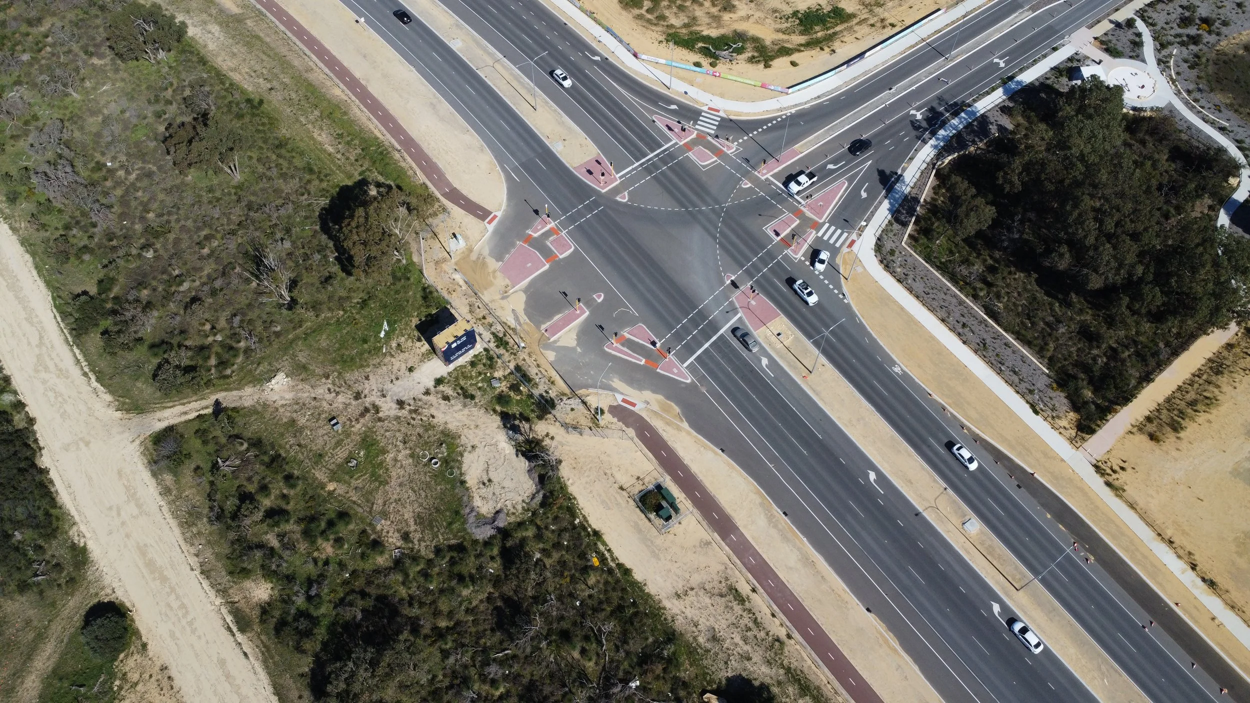
Using automated drone technology it is possible to create a detailed 3D model of both a large area of land as well as the ability to scan and generate high quality models of sites/buildings.
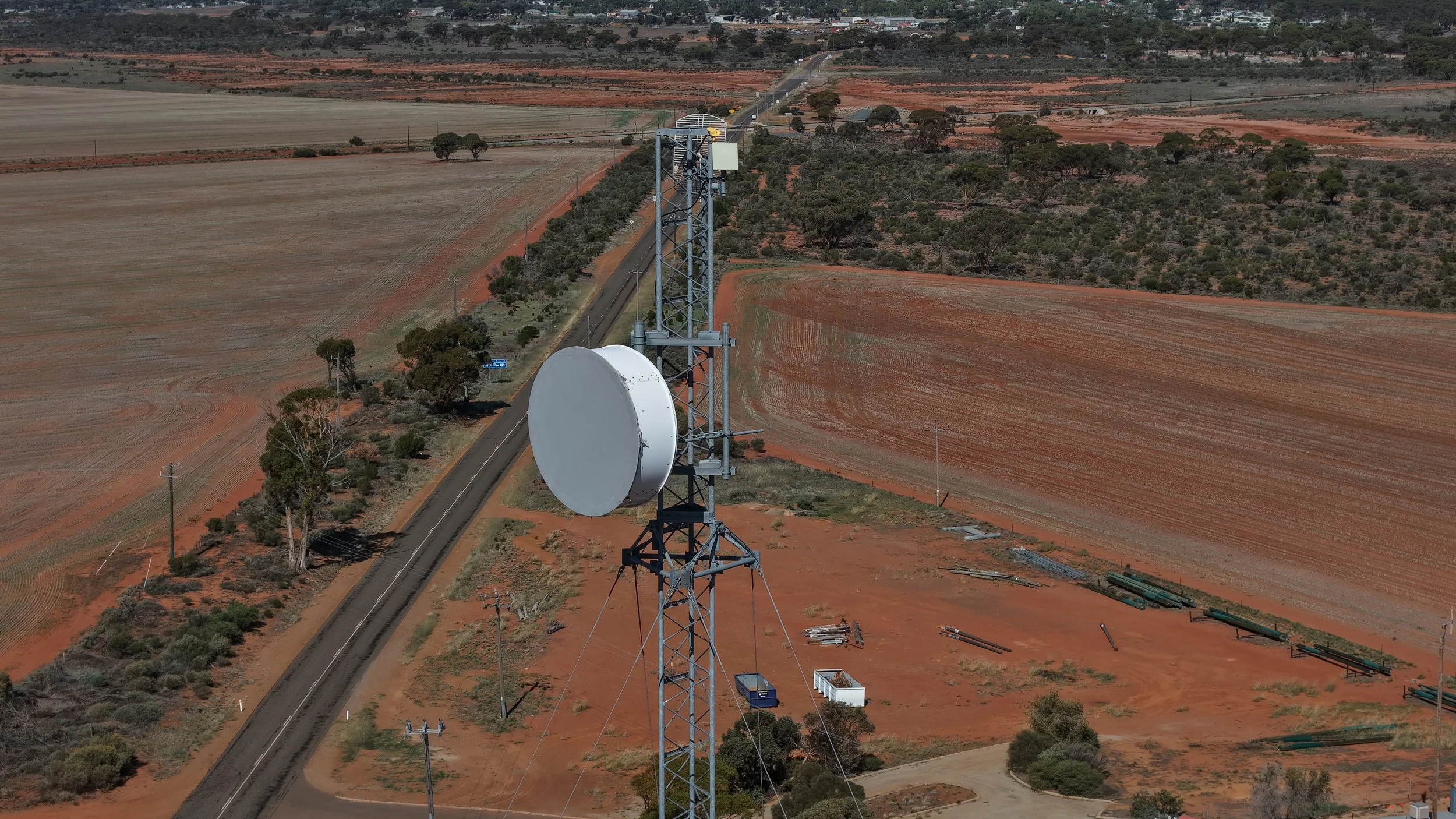
In hard to reach places such as power lines or transformer towers, it is easier and more cost effective to deploy a drone to capture high quality images for inspection instead of sending out a crew.
Promotional videos for tourism spots or businesses are a great way to attract clients.